
Land Surveying Advice Across Melbourne’s North & West
Most people who contact us don’t know the survey name – they just know they need “a survey” for council, a builder or a problem they’re trying to fix.

At North West Land Surveyor, you don’t need to know the jargon.
Tell us what you’re planning or what paperwork you’ve received, and we’ll recommend the right survey for your situation.
Below are some typical scenarios we see across Melbourne’s north and west – and the surveys that usually apply.
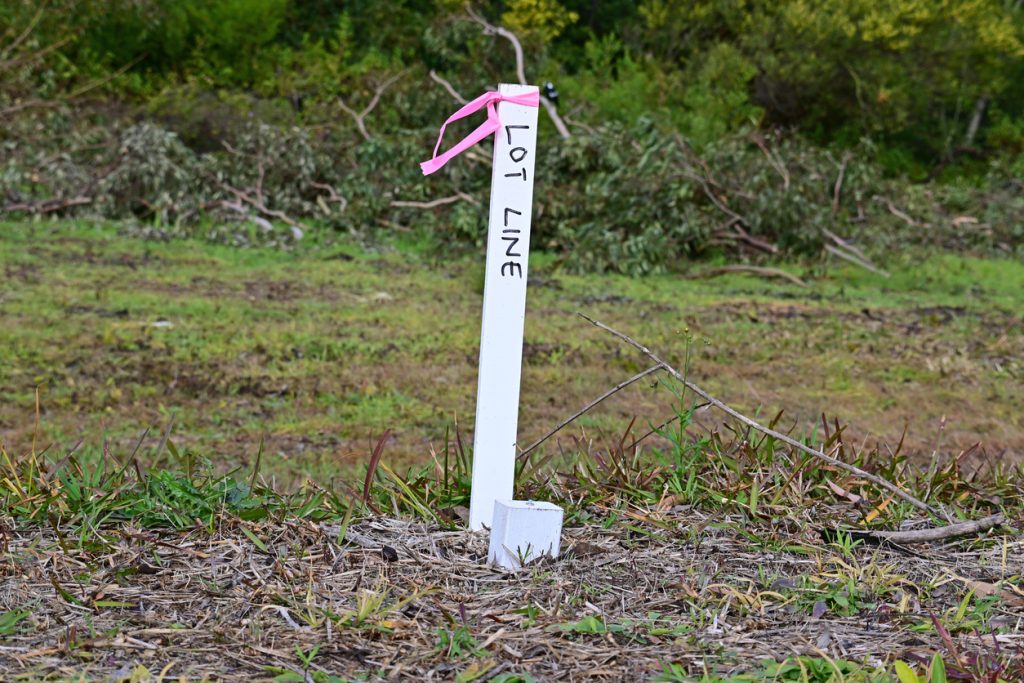
If you’re unsure where the true boundary is, or there’s disagreement with a neighbour, you’ll almost certainly need a:
Confirms the exact legal boundary so the new fence goes in the right place and disputes are minimised.
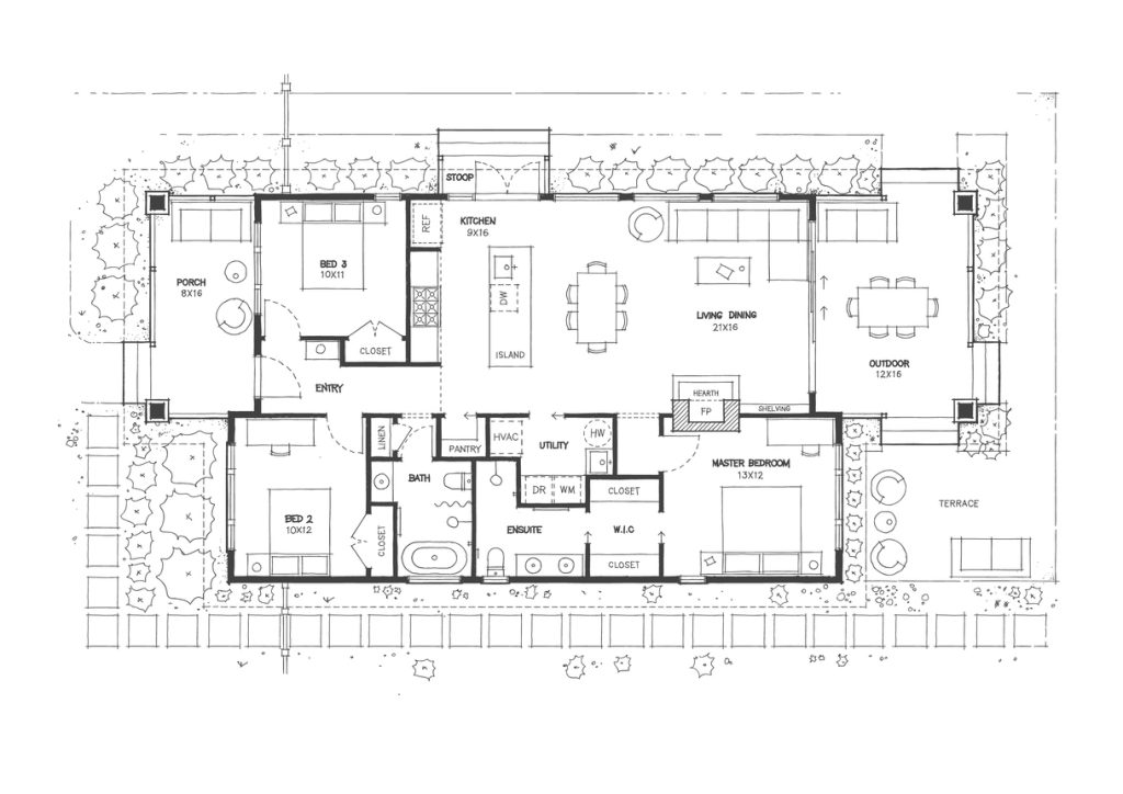
For planning permits, designs and knockdown-rebuilds, the usual requirement is a:
Shows existing buildings, features, trees and ground levels, usually tied to AHD, so designs can be prepared and lodged with council.
Sometimes this is combined with a Title Re-Establishment Survey if you’re building close to boundaries.
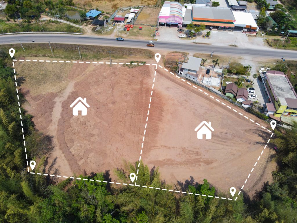
If you’re creating an extra lot in Sunbury, Craigieburn, Melton, Werribee, Point Cook or similar suburbs, you’ll need:
to confirm existing boundaries
to legally create new lots and titles
We’ll talk you through both steps and work in with your town planner.
For construction, you’ll typically need a combination of:
for your architect and planning application
to confirm the true boundary
to mark building positions, footings and key levels on the ground
if building multiple dwellings and wanting separate titles for each
to confirm what’s actually been built matches the approved plans
Tell us what stage you’re at and we’ll advise which of these are necessary now and which can wait.

If your council or water authority is asking about minimum floor levels or flood impacts, they’ll usually require a:
Shows ground and floor levels relative to Australian Height Datum (AHD) so engineers and council can check compliance with flood controls.
Where there is potential adverse possession or encroachment, you may need:
Identifies the legal title line and the occupied area, and is used as evidence by lawyers and Land Use Victoria.
Sometimes this is combined with a Title Re-Establishment Survey if you’re building close to boundaries.
If none of these quite match what you’re dealing with, that’s fine – just call or send us what you have (plans, council letters, emails from your builder) and we’ll interpret it for you.
Give us a call for a free quote!!
We keep things straightforward:
Explain your situation in simple terms:
You can also email us any letters, plans or permit conditions you’ve received.
A Licensed Surveyor reviews your information and confirms which survey (or combination of surveys) is appropriate – and just as importantly, which ones you don’t need.
We send you a clear, fixed-price quote outlining the survey type, what’s included and expected timeframes. No hidden extras, no surprise add-ons.
If you’re happy to proceed, we:
If anyone has questions about the survey, we’re available to clarify.
Council usually describes the required survey in their planning permit checklist or request letter. If the wording is unclear, simply email us a copy and we’ll translate it into the survey type (e.g. Feature & Level, Title Re-Establishment, Flood Level etc.) and let you know what’s involved.
Yes. Many clients start with: “We’re putting in a new fence,” or “We’re doing a townhouse project in Werribee,” without any paperwork yet. Just describe what you’re planning and we’ll explain the likely survey requirements in plain English.
No. We’re happy to talk through your situation and identify the survey type at no charge. You only pay if you decide to proceed with the quoted survey work.
That’s ideal. With your permission, we can speak directly with your builder, architect, engineer or town planner so everyone is on the same page. We’ll send plans to them as well as to you.
That’s completely normal. Our job is to make sure you don’t need to remember the terminology – just what the survey will do for you. We’ll summarise in simple terms:
We regularly help clients work out the right survey across Melbourne’s northern and western suburbs, including:
That’s exactly what this page is for.
Whether you’re fencing, renovating, subdividing, building or sorting out a boundary issue, North West Land Surveyor can tell you:
Lawyers, councils and property owners use encroachment survey plans as independent evidence when resolving boundary disputes and formalising agreements.
Not sure what survey you need? You’re not alone — most clients come to us with the same question. Our team will explain everything clearly, provide the right survey, and deliver certified plans accepted by councils, architects, and Land Use Victoria.