
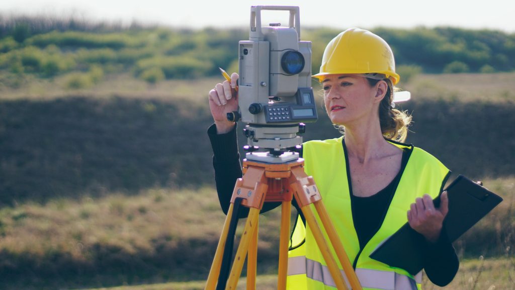
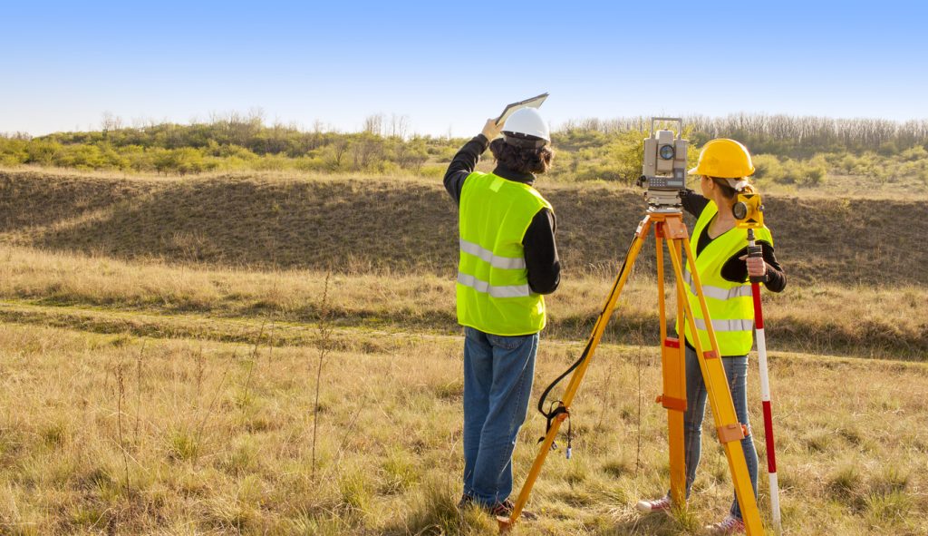
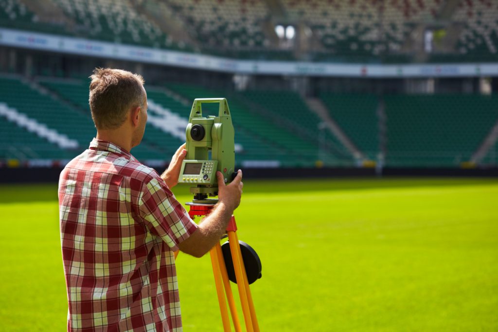
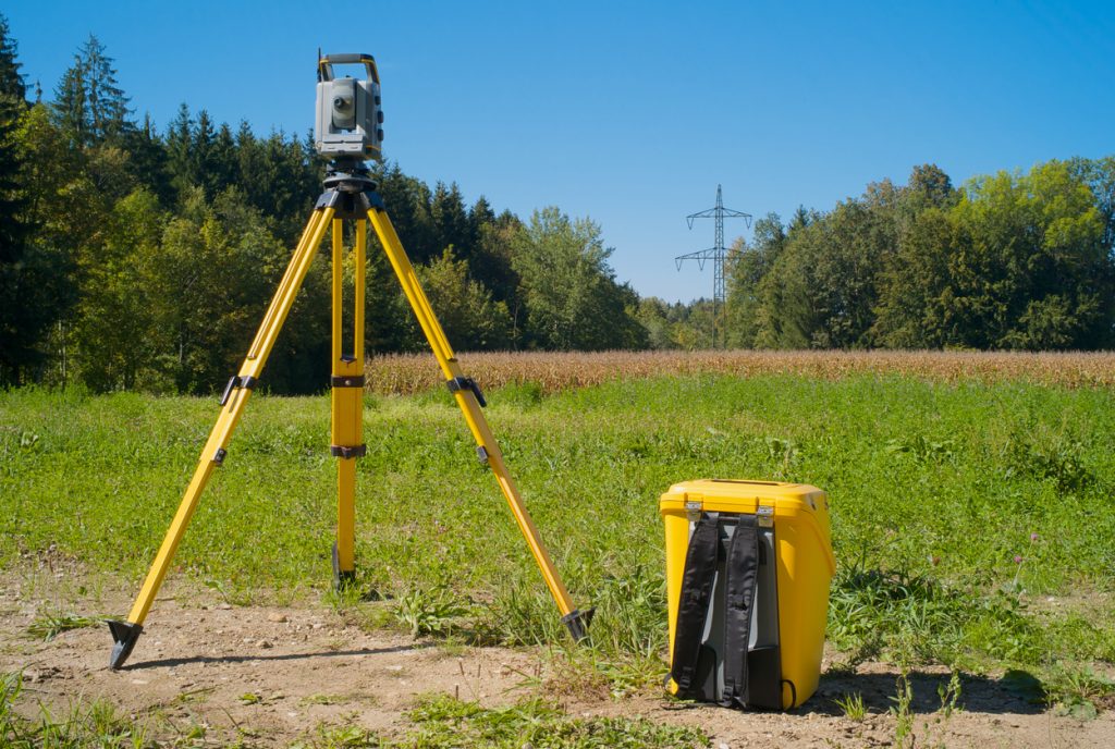
Specialist Surveys – North & West Melbourne
Specialist Surveys in Melbourne’s North & West
Targeted surveys for legal, planning and commercial property needs across Melbourne’s northern and western suburbs.
Licensed & experienced land surveyors
Clear, fixed-price quotes
Local knowledge of north & west Melbourne councils
What Are Specialist Surveys?
Specialist Surveys go beyond standard boundary or feature & level surveys. They are used where specific legal, planning or compliance evidence is required.
At North West Land Surveyor, our specialist services include:
Adverse Possession Surveys
defining land occupation for adverse possession claims
Easement Creation & Removal Surveys
supporting planning permits and Land Use Victoria requirements
Flood Level & AHD Surveys
establishing existing ground and floor levels in flood-affected areas
Lease Area (NLA) Surveys
measuring lettable areas for commercial tenancies
Boundary Realignment & Consolidation Surveys
adjusting or combining titles
Encroachment Surveys
confirming whether structures cross property boundaries

These surveys produce clear, certified plans that lawyers, councils, engineers and property professionals rely on when making important decisions.
Types of Specialist Surveys
Adverse Possession Surveys
If you’ve been using and occupying land that technically lies outside your title boundary (for example, because of an old fence line, garden or shed), you may be able to claim ownership through adverse possession.
To pursue a claim, your lawyer and Land Use Victoria will need a survey plan clearly identifying the land being claimed.
Our Adverse Possession Surveys:
Show the legal title boundary and the occupied area
Identify encroachments such as fences, buildings and improvements
Provide accurate dimensions and areas of the land in question
These plans form a key part of the evidence package used by lawyers and conveyancers when preparing adverse possession applications.
Easement Creation & Removal Surveys
Easements provide legal rights for services or access – for example, drainage, sewer, power, access driveways or shared services.
You may need a survey if you are:
Creating a new easement for services or access
Varying the position or width of an existing easement
Removing an easement that is no longer required
North West Land Surveyor prepares Easement Creation, Variation and Removal Surveys that:
Show the exact location and dimensions of the easement
Demonstrate how the easement affects the property
Meet council and Land Use Victoria plan requirements
These surveys are commonly used in conjunction with subdivision, redevelopment and planning permit applications.

Flood Level & AHD Surveys
Properties in parts of Sunbury, Werribee, Melton, Craigieburn, along creeks or drainage lines may be affected by flood overlays or drainage control conditions.
A Flood Level & AHD Survey:
Establishes ground levels and existing floor levels relative to Australian Height Datum (AHD)
Provides council engineers with information to check whether proposed floor levels are above flood risk
Is often required where Special Building Overlays (SBO) or Land Subject to Inundation Overlays (LSIO) apply
Our flood level surveys give councils and engineers clear information so they can assess minimum floor levels, overland flow paths and flood risk before granting approvals.
Lease Area (NLA) Surveys
Commercial rentals are generally based on dollars per square metre, so it is critical that the area being leased is measured correctly.
A Lease Area Survey (Net Lettable Area – NLA) is used to:
Measure the usable floor area of a shop, office, warehouse or industrial tenancy
Apply consistent rules in line with Property Council of Australia guidelines
Provide an independent, certified basis for rent calculations
Our Lease Area Surveys give both landlords and tenants confidence that the leased area is fair and properly measured, helping to avoid disputes over rent and outgoings.
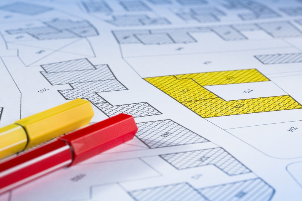
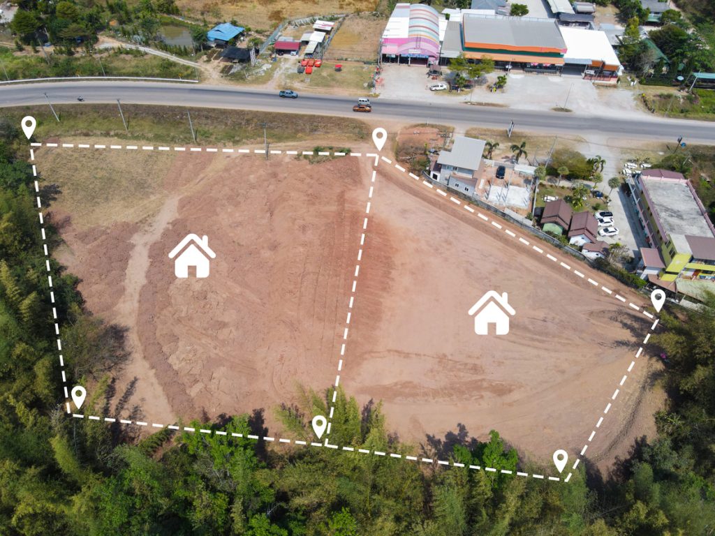
Boundary Realignment & Consolidation Surveys
Sometimes existing title boundaries no longer suit how the land is being used or developed. Common reasons include:

Adjusting a boundary to match existing fences or structures
Realigning boundaries to make lots more usable
Combining multiple titles into a single lot before redevelopment
We prepare Boundary Realignment Surveys and Plans of Consolidation that:
Redefine title boundaries accurately
Show new lot shapes, areas and relationships to existing improvements
Are suitable for submission to council and Land Use Victoria
These surveys are also useful for resolving long-standing discrepancies between fences and title boundaries.
Encroachment Surveys
Encroachment issues arise when part of a building, fence, retaining wall or other structure crosses into a neighbouring property or road reserve.
An Encroachment Survey:
Precisely identifies where the encroachment occurs
Shows how far it extends and its impact on both properties
Provides plans that can be used in negotiations, legal proceedings or planning applications
Lawyers, councils and property owners use encroachment survey plans as independent evidence when resolving boundary disputes and formalising agreements.
Why Specialist Surveys Matter
Specialist Surveys can play a crucial role in protecting your interests and unlocking opportunities. They help:
Provide legal evidence for disputes, claims and tribunal matters
Support planning permits, subdivision and redevelopment
Ensure smooth dealings with Land Use Victoria when titles or easements change
Clarify rights and responsibilities between neighbours, landlords and tenants
Add value by enabling new developments, leases or title arrangements
When significant money or risk is involved, having the right survey evidence can make all the difference.
Land Surveyors in North & West Melbourne
Give us a call for a free quote!!
Reviews From Local Builders & Owners
“We were subdividing our block in Sunbury and had no idea where to start. The guys guided us through the surveys and paperwork needed at each stage and kept us informed the whole way. Highly recommend.”
Amanda & Chris – Sunbury
“From the first phone call to delivery of our subdivision plans in Point Cook for our subdivision, the communication was excellent. Fixed quote, no surprises, and they coordinated well with our town planner and lawyer.”
Raj & Priya – Point Cook
“North West Land Surveyor provided a boundary survey and site levels for our knockdown-rebuild in Glenroy. They were professional, easy to contact, and worked well with our designer. It went well with Council and we were happy with the outcome.”
Rebecca S – Glenroy
Specialist Survey Costs in Melbourne’s North & West
Costs vary depending on the type of specialist survey, the complexity of the site and the amount of legal/authority input required.
As a general guide:
Adverse Possession Surveys
typically $2,000 – $5,000, depending on land size and complexity
Easement Creation/Removal Surveys
from around $1,500+, depending on council and authority conditions
Flood Level & AHD Surveys
from approximately $1,000 for a standard residential block
Lease Area (NLA) Surveys
custom pricing based on tenancy size and layout
Boundary Realignment / Consolidation
varies with number of titles and approval pathway
costs vary depending on the type of specialist survey, the complexity of the site and the amount of legal/authority input required.

Frequently Asked Questions
1. What is an Adverse Possession Survey used for?
An Adverse Possession Survey is used when an owner is claiming title to land they’ve occupied (without consent) for the statutory period in Victoria, usually 15 years. The survey identifies and measures the occupied area, showing fences, buildings and other improvements that extend beyond the legal title boundary. Lawyers and conveyancers then use this plan as supporting evidence in applications to Land Use Victoria or the courts.
2. Can you prepare easement removal or variation surveys in Victoria?
Yes. We regularly prepare survey plans for easement creation, variation and removal. These plans show the easement’s location, width and relationship to the property boundaries and improvements. Councils and Land Use Victoria require this information before any easement changes can be legally recorded.
3. Do I need a flood level survey for my planning application?
If your land is affected by a flood overlay or drainage control, council will often require a Flood Level & AHD Survey. This survey shows ground and floor levels tied to AHD so engineers can confirm that proposed floor levels are above the nominated flood levels. Even outside overlays, flood level surveys can be useful on low-lying or creek-adjacent sites.
4. What is a Lease Area (NLA) Survey?
A Lease Area or Net Lettable Area (NLA) Survey measures the usable floor space of a commercial tenancy using consistent measurement rules, commonly those set out by the Property Council of Australia. It provides a certified basis for rent calculations, helping to avoid disagreements between landlords and tenants about the size of the space being leased.
5. How long do specialist surveys take?
Timeframes depend on the type and complexity of the survey:
- Adverse Possession Surveys – usually 1–3 weeks for the survey component, plus legal processing time
- Easement Surveys – often 1–2 weeks for survey and plan preparation, with additional time for council/authority approvals
- Flood Level Surveys – frequently completed within 5–10 business days
- Lease Area Surveys – typically around 1 week for smaller tenancies, longer for large or complex buildings
- Boundary Realignment / Consolidation – survey and plan work may be relatively quick, but authority approvals can take several weeks or months
- We’ll confirm expected timeframes when we provide your quote.
6. How are specialist surveys different from standard boundary surveys?
A boundary (Title Re-Establishment) survey confirms where your legal property boundaries are on the ground.
Specialist Surveys address specific issues that go beyond ordinary boundary definition, such as:
- Adverse possession and long-term occupation
- Easement creation, variation or removal
- Flood risk and minimum floor levels
- Commercial lease areas (NLA)
- Boundary realignments and encroachments
They provide targeted information for legal, planning and commercial decisions.
Service Areas – Specialist Surveys
We provide Specialist Surveys across Melbourne’s northern and western suburbs, including:
- Essendon
- Niddrie
- Keilor
- Moonee Ponds
- Ascot Vale
- Coburg
- Brunswick
- Glenroy
- Pascoe Vale
- Sunbury
- Diggers Rest
- Craigieburn
- Roxburgh Park
- Greenvale
- Mickleham
- Epping and surrounds
- Caroline Springs
- Taylors Lakes
- Melton
- Deer Park
- Sunshine
- St Albans
- Werribee
- Hoppers Crossing
- Tarneit
- Truganina
- Point Cook
Why Choose North West Land Surveyor for Specialist Surveys?
Comprehensive expertise
from adverse possession to flood levels, easements, NLA and encroachments
Council-ready & legally sound plans
prepared to meet Victorian authority standards
Fixed, transparent quotes
clear pricing before any work begins
Proven experience
with complex property matters
Local knowledge
of north & west Melbourne councils and typical conditions

Call to Action
Need a Specialist Survey in Melbourne’s north or west?
From adverse possession and easement changes to flood levels, lease areas and more – North West Land Surveyor can provide the clear, certified survey plans you need to resolve property issues and move your project forward.